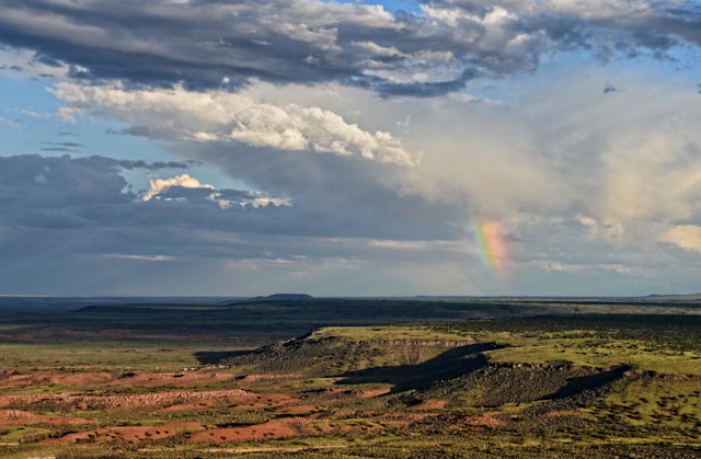
The Colorado Plateau is a geographic province located in the Southwestern United States. It is characterized by tablelands, volcanic peaks, and deeply etched plateaus dissected by the Colorado River and its tributaries. The Colorado Plateau encompasses 130,000 square miles of Arizona, New Mexico, Colorado, and Utah. Elevations range from about 1,200 feet (at Lake Mead) to 12,365 feet (Humphreys Peak, San Francisco Mountain). It is home to one million people, including ten Native American tribes and numerous rare species of plants and animals.
-
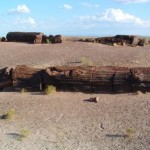
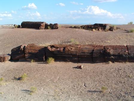
- Petrified Wood in Petrified Forest National Park, Arizona.
-
- Painted Desert, Arizona.

-
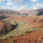
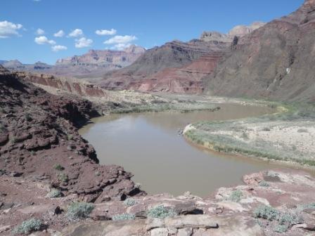
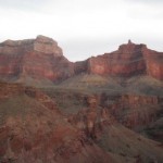
- Grand Canyon National Park, Arizona.
-
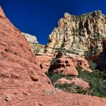
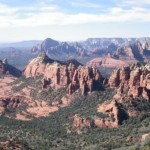
- Sedona, Arizona

-
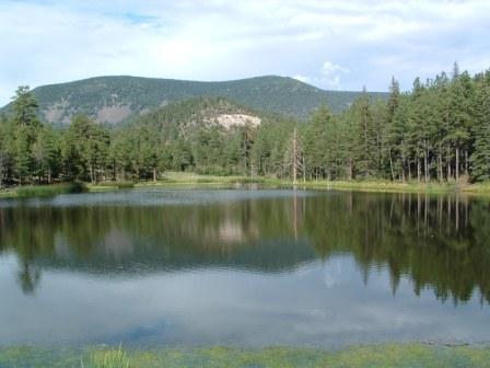
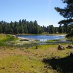
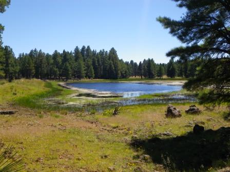
- Big Lake, White Mountains, Arizona.
-
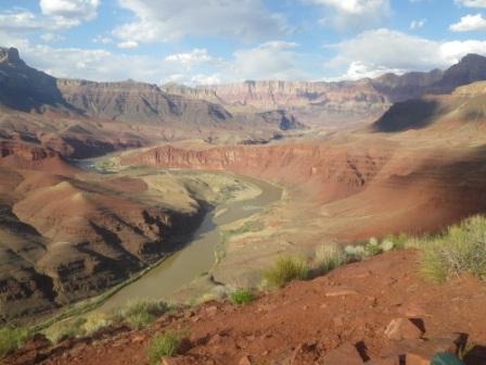
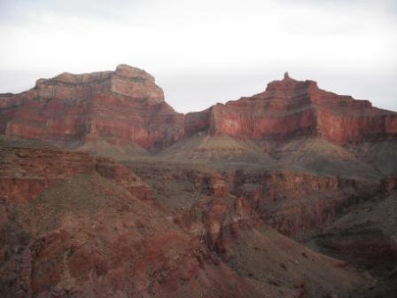
- Grand Canyon National Park, Arizona.
-
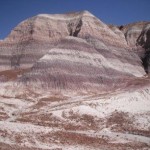
- Painted Desert, Arizona.
-
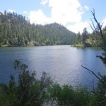
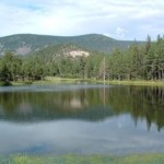
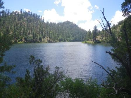
- Chevelon Lake, Mogollon Rim, Arizona.
-
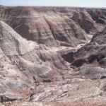
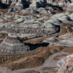
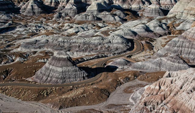
- Painted Desert, Arizona
-
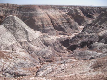
- Painted Desert, Arizona
-
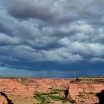
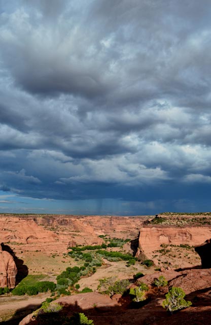
- Canyon de Chelly, Arizona
-
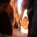
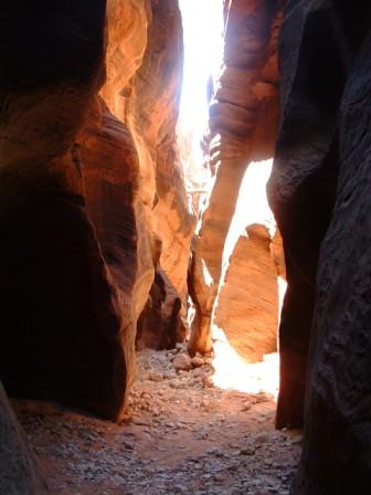
- Buckskin Gulch, Arizona.
-
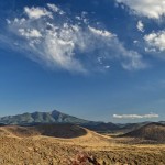
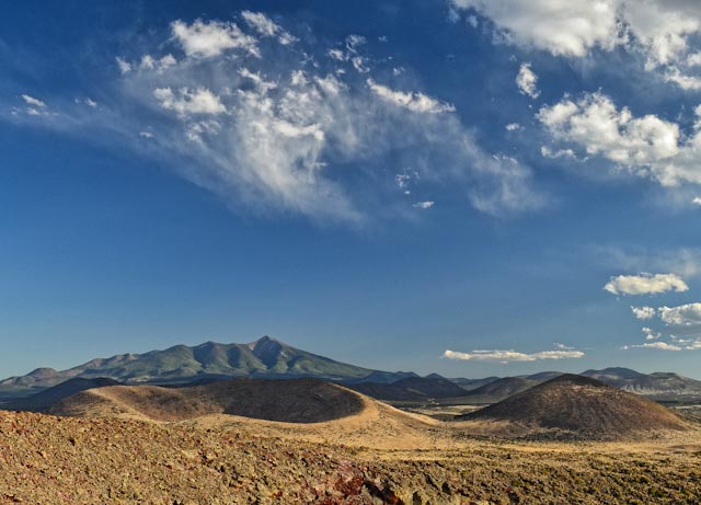
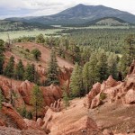
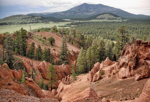
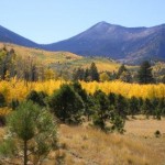
- San Francisco Mountain, Arizona
-
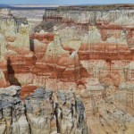
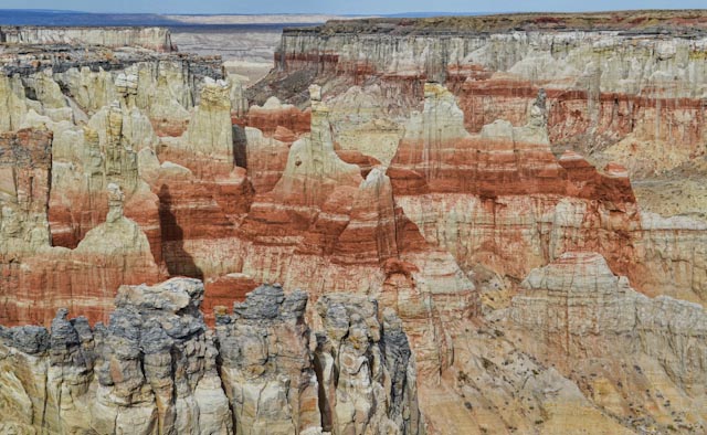
- Coal Mine Canyon, Arizona
-
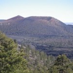
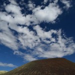
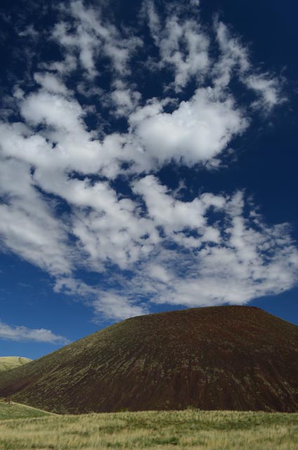
- Red Mountain Cinder Cone, Arizona.
-
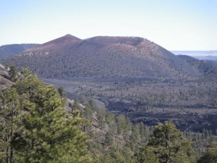
- Sunset Crater, Arizona.
-
- Petrified Forest, Arizona
-
- Painted Desert, Arizona
-
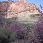
- Red buds in Grand Canyon National Park, Arizona.

-
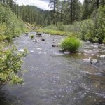
- Black River, White Mountains, Arizona.
-
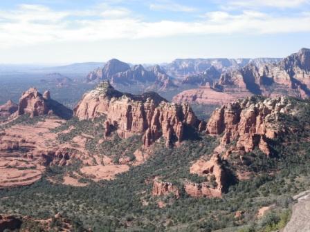
- Sedona, Arizona

-
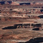
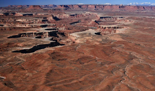
- Canyonlands National Park, Utah

-
- Sedona, Arizona

-
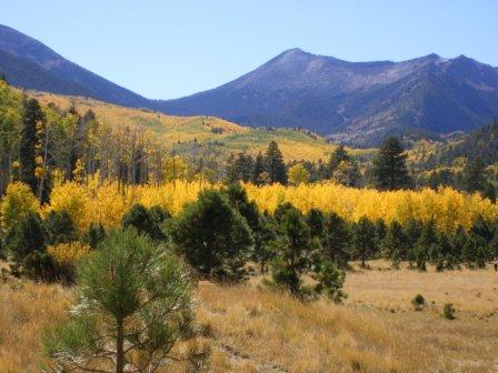
- Inner Basin of the San Francisco Mountains, Arizona.
-
- Grand Canyon National Park, Arizona.
-
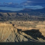
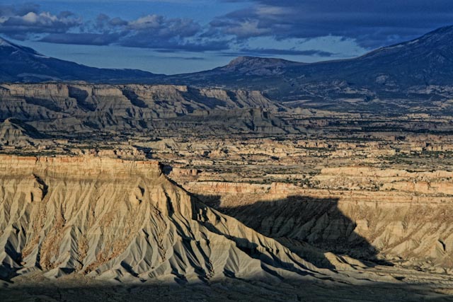
- Henry Mountains, Utah
-

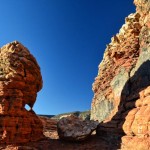
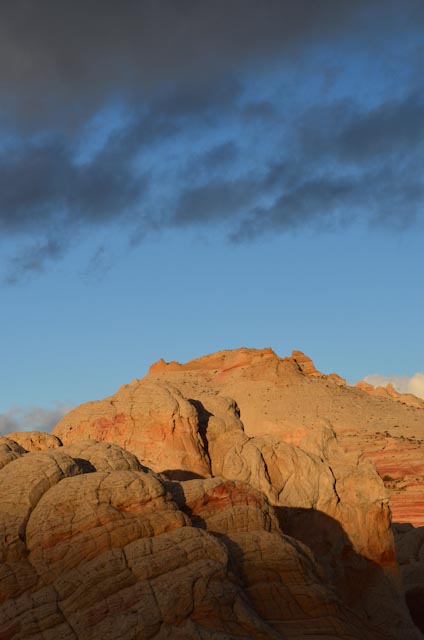
- Vermilion Cliffs, Arizona
-
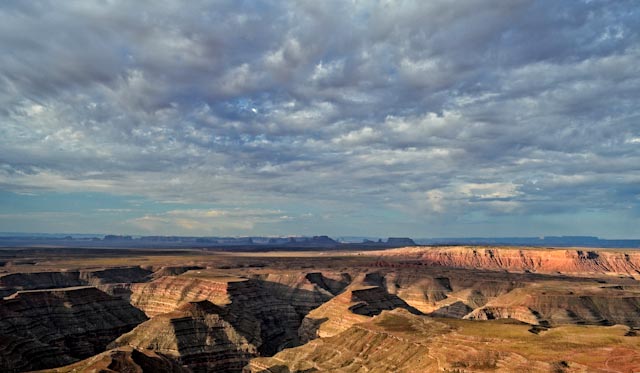
- Monument Valley, Arizona
-
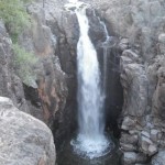
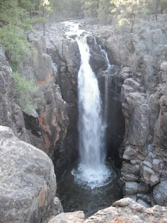
- Sycamore Falls, Coconino National Forest, Arizona.
-
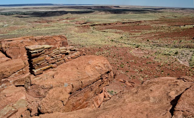
- Wupatki National Monument, Arizona
-
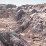
- Painted Desert, Arizona.

-
- Vermilion Cliffs, Arizona

-
- View from Munds Mountain, Arizona.
-
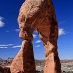
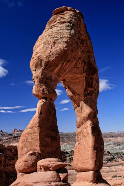
- Delicate Arch, Arches National Monument, Utah
-
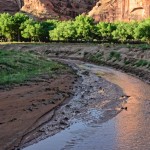
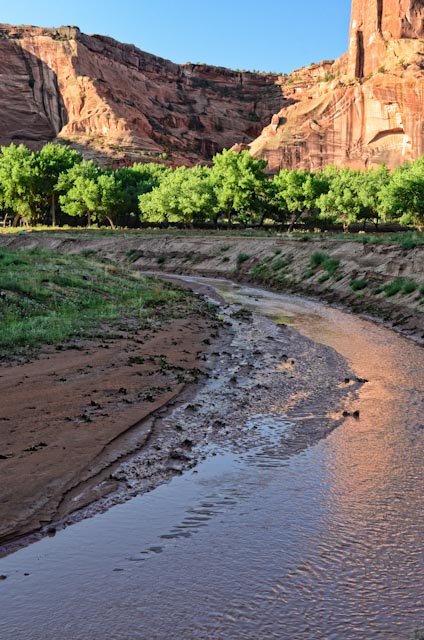
- Canyon de Chelly, Arizona
-
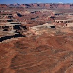
- Canyonlands National Park, Utah
-
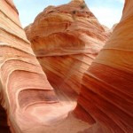
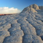
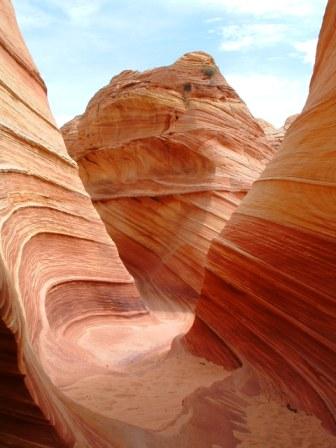
- The Wave, Arizona.
-
- Strawberry Crater, Arizona
-
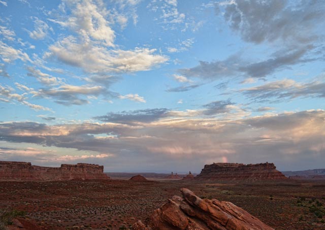
- Valley of the Gods, Utah.
-
- Water Tank, Coconino National Forest, Arizona.
-
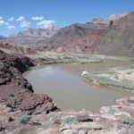
- Clear Creek, Grand Canyon, Arizona.
-
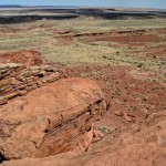
- View from Wupatki National Monument, Arizona.